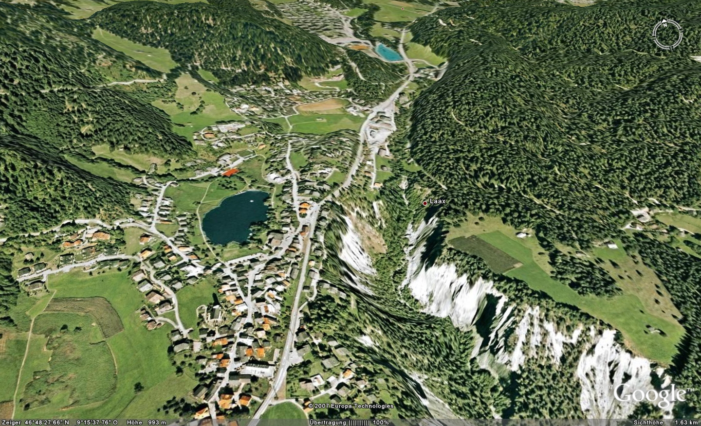
Not breaking news anymore. Finally Switzerland gets a higher resolution on Google Earth and Google Maps. The imagery is now much sharper and you can zoom in way better, but it is still the same old data. For Flims/Laax/Falera the data is between 5 to 15 years old, closer to 15 than to 5… But for other regions in Graubuenden the data is not older than 5 years. I am not talking about “interesting” places like big ski resorts or cities, I talk about “Kaffs”, small places where new data is not that important. Maybe we get updates for the rest very soon.
Here is a little screenshot how Laax looks on Google Earth, with the terrain option on (big compliment on that, looks great):
Comparison
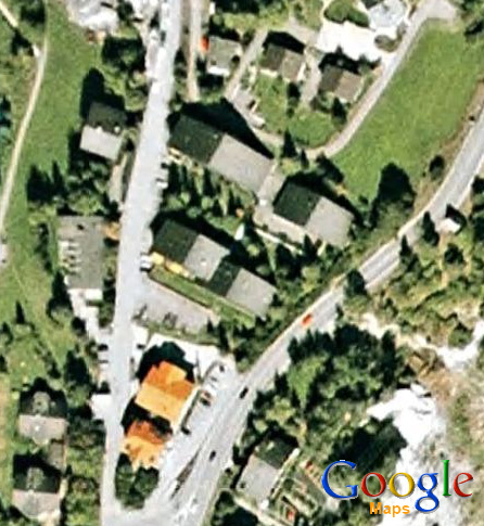
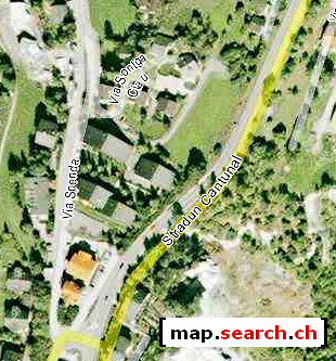
Here is a little Google Maps vs. map.search.ch vs. local.ch (is there no direct deep linking?) comparision of the image quality.
Google Maps
map.search.ch
local.ch
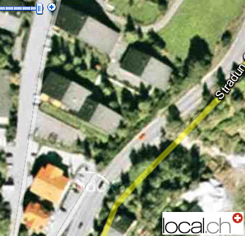
You can see, Google Maps and local.ch is on the same quality level. The only difference between these two is, that local.ch shows street names even on the biggest zoom level. Google has one more zoom level, but does not show any images there.
The worst imagery has map.search.ch. There JPEG-Compression is bad as well.
And now you have verification they all use the same source: all three images have a red car on the street.
Hi Corsin, no wonder, it’s actually all Endoxon Orthophotos that form the base of the imagery for the three apps for Switzerland.
Gerüchten zufolge jetzt auch bei uns!
Das sieht man ja vom Schiff aus, dass hierzugrunde genau dasselbe Material liegt. Ein bisschen zoomen hilft bekantlich gar nichts, local.ch und google maps…